Terrain review
Explore Eagle's Nest Retreat in 3D
See how the roads and parcel boundaries follow the mountain. Then compare the 3D view with the recorded plat and individual lot details.
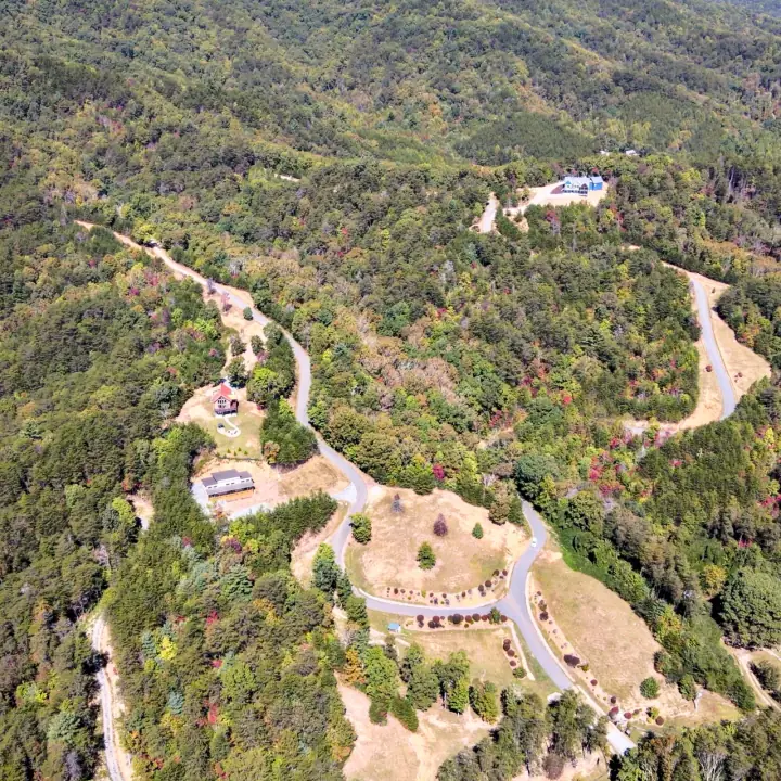
Elevation context
See how the community follows the mountain and where grade changes may influence access, views, and home placement.
Lot-line context
Compare parcel positions, road frontage, and neighboring land. Boundaries shown here are for orientation, not survey work.
Utilities + soil mapping
Utility service reaches each homesite, and septic soil areas have been mapped. Confirm final designs and connections for the lot you choose.